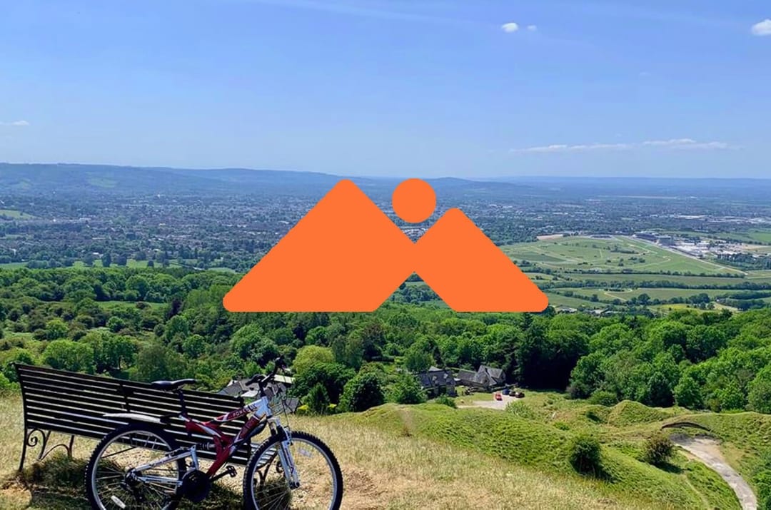
The Cotswolds and hills go hand in hand, therefore it’s only right that Cyced dedicates an article to some of the toughest inclines in the area. Many of the hills on this list are around the Cheltenham area and are children of Cleeve Hill, the largest in the county. The statistics are taken from the specific Strava segments Cyced created for each climb, so the measurements and categorisations of the hills should be familiar.
Birdlip Climb
Distance: 0.9 miles | Elevation Gain: 555ft | Average Gradient: 11% | Peak Gradient: 28% | Category: 3 | Strava
With the highest peak gradient on this list, Birdlip Climb is a tough opponent to face. The incline lacks any flat sections, and so there’s no real time to rest and recoup whilst riding. However there are places at the side of the road to pull in if this monster starts to take its toll on you. The climb ends once you break through the trees and enter Birdlip, where you can refuel if you need to.
Cleeve Hill North
Distance: 1.5 miles | Elevation Gain: 430ft | Average Gradient: 5% | Peak Gradient: 14.9% | Category: 4 | Strava
Cleeve Hill North is located on the B4632, heading from Prestbury/ Southam into Winchcombe. This climb is one of the most ridden in the area, and is host to some fierce competition. There are plenty of places to rest on the hill, as a pavement is present for most of the incline, and there are several flat sections to take it a little easier on. However, the sections that aren’t flat are challengingly steep. The official Cyced segment ends once you reach the junction for Cleeve Hill Golf Course.
Cleeve Hill South
Distance: 1.4 miles | Elevation Gain: 349ft | Average Gradient: 5% | Peak Gradient: 13.2% | Category: 4 | Strava
This climb is the reverse for Cleeve Hill North, but is definitely worth a mention as it boasts as much of a challenge as its cousin, but requires a more tactical approach. Starting just outside of Winchcombe and following the B4632 all the way to the junction for the Cleeve Hill Golf Course, this climb has no places to stop and is more of a steady incline rather than a short burst effort.
If you’re looking to cycle onto Cleeve Hill and the Cleeve Common, please look through the cycling code of conduct for this preserved area.

Harp Hill
Distance: 0.3 miles | Elevation Gain: 412ft | Average Gradient: 9% | Peak Gradient: 16.4% |Category: N/A |Strava
There are many hills in the Cotswolds that receive the attention of cyclists, but Harp hill is a little less known, and so made it to this list as our underdog. This is the shortest segment here, but offers a quick burst effort as opposed to a long arduous climb. Situated in the Charlton Kings area of Cheltenham, just off of the B4075, Harp Hill is made up of one quick rising incline and a turn at the top of the segment.
Leckhampton Hill
Distance: 1.6 miles | Elevation Gain: 368ft | Average Gradient: 4% | Peak Gradient: 23.2% | Category: 4 | Strava
Leckhampton Hill is one of the most notorious leg killers in the Cotswolds. The segment is split into two main inclines with the first being steep and painful, and the second being a long slow rising gradient that finishes you off. There are a few drives to pull into if you’d rather take the climb in two parts, but other than that the road lacks a pavement on the left side to ease your struggle.
Painswick Climb
Distance: 2.6 miles | Elevation Gain: 476ft | Average Gradient: 3% | Peak Gradient: 16.3% | Category: 4 | Strava
Anyone who has ridden through this area will know why it’s called Painswick. The Cyced segment begins just after the fork in the road at Pitchcombe, where you will need to follow the A46 Stroud Road. As the longest segment in this list, it supplies around ten minutes of constant struggle, the whole time of which you’ll be screaming at your legs to shut up. The climb itself is a complete contrast to the unique beauty of the Gloucestershire village, which is situated about halfway up the hill and provides the perfect resting opportunity to catch your breath. Don’t let the lower average gradient of this segment fool you, there is enough of an incline over the extended distance to defeat even the most seasoned rider. The Painswick Climb is the very definition of an uphill battle.
Snowshill
Distance: 1.8 miles | Elevation Gain: 559ft | Average Gradient: 6% | Peak Gradient: 19% | Category: 3 | Strava
Snowshill, and Winchcombe Climb, are two infamous hills included in the Wiggle Cotswold Sportive. The climb itself is a little effort to get to if you’re coming from one of the bigger towns in the Cotswolds, but once you reach it, and if you can get to the top, that adrenaline rush will be all the reward you need. This is definitely not one to underestimate; there is very little warning that you are approaching the climb, so it can catch you off guard. The segment starts just outside of Broadway on Snowshill Road, heading towards Snowshill, and ends on the other side of the village. There aren’t many places to stop, but you can refuel in the village if you’re running low of water and food.
Winchcombe Climb
Distance: 1.2 miles | Elevation Gain: 560ft | Average Gradient: 8% | Peak Gradient: 24.1% | Category: 3 | Strava
I’m sure we’ve all faced a monster climb or two in our time, many of you may even have tackled a few on this list, but this hill is just cruel. The segment can be found just outside of Winchcombe, starting at the crossroad for Sudley Castle and finishing at the very top of the hill. The finish is characterised by a hole in the wall on the right hand side, which is a popular place for cyclists to take photos to document their triumph over this beast, but getting there is no easy feat. The first section of the hill is a slow rise, leading into an unforgivingly steep section, which is followed by a false flat for a few hundred meters, which eventually leads to the final incline of the hill. The road is tight and the only places to rest are towards the end of the climb, so clip in tight because you’re in for a long one.
It’s difficult to say which of these hills is the most difficult, as they each offer a different kind of challenge. Some of the roads that these segments are home to can become busy at peak times of day, so be wary of when you choose to tackle them.
Aggs Hill
Aggs Hill is a brutal climb. Thanks to our commenter Steven for pointing this Gloucestershire hill out! Just south of Prestbury and North of Charlton Kings, this will get your legs into gear. Wrap round to Whittington and you’ll soon find yourself into the beautiful cotswolds where I can assure you, you will be welcome with more awesome climbs.


